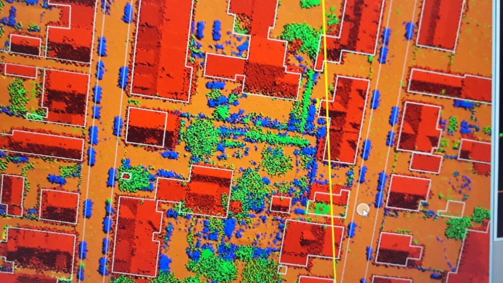
KGlobe provides a wide range of LiDAR data processing services that helps in creating Digital Elevation Models (DEM), Digital Terrain Models (DTM) and Triangulated Inverse Networks (TIN) to provide highly accurate detail of the Earth’s surface. DSPL LiDAR data processing services have helped global industries in making informed decisions about their business. LiDAR data processing services enable the electrical utility industry with the efficient planning and maintenance of electric networks. LiDAR classification also gives a supporting hand to the agricultural sector, by watershed delineation and crop assessment mapping using LiDAR point cloud data. This way, LiDAR classification and LiDAR data processing assists many industrial sectors in planning and making informed decisions.