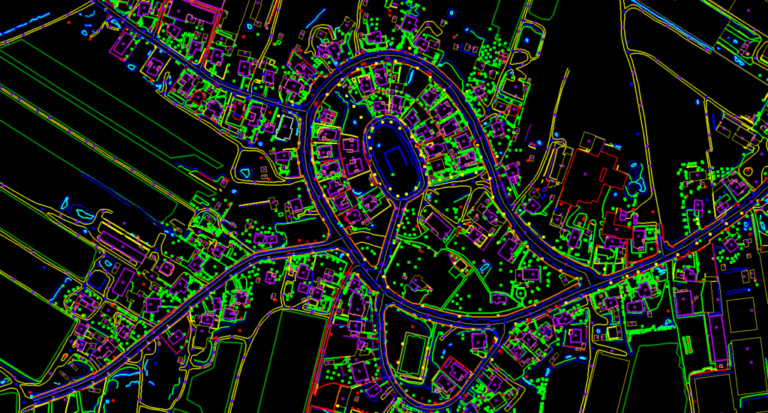
Photogrammetry is the science of making measurements from photographs. The input to photogrammetry is photographs, and the output is typically a map, a drawing, a measurement, or a 3D model of some real-world object or scene.
Procedure of establishing the geometric relationships among overlapping and side lapping photographs for determining the positions of supplement horizontal control points. It reduces substantially the control required by field methods.
- Establishing Ground Control points
- Line map of the project area showing flight lines.
- Project boundaries.
- Control point locations and identification numbers.
- Description of Ground Control Points with coordinates.
- Tie Points measure and transfer.
- Block Adjustment.